CHCNAV · FIELD SOFTWARE
LandStar Field Software
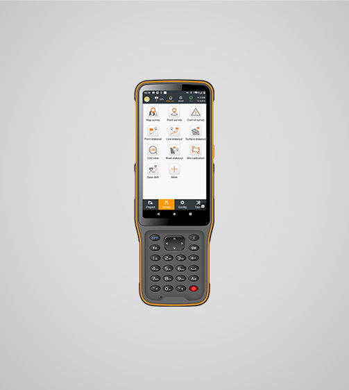
CHCNAV’s Android field app for surveying and mapping — it runs the GNSS receivers and total stations, handles CAD base maps right on the controller, and covers stakeout, topo, road and earthwork workflows.
$ 790.00
What it does
| Platform | Android 6.0.1 and above; CHCNAV controllers and third-party Android devices |
|---|---|
| CAD engine | MetaCAD — opens DWG/DXF base maps up to 200 MB on the controller |
| Works with | CHCNAV GNSS receivers and manual/robotic total stations |
| Survey functions | Topographic survey; cadastral mapping |
| Layout / stakeout | Construction layout and stakeout incl. visual navigation and CAD AR visual stakeout |
| Earthworks | On-site earthwork volume calculation |
| Roads | Road survey / stakeout workflows |
| File formats | DWG, DXF, SHP, KML, GPX, TIFF, JPG, MBTiles |
| Cloud | Project backup, team collaboration, remote support |
| Interface | Modular, customisable UI; 35+ languages |
| Installed base | 500,000+ users worldwide |
Run it on a screen you can read.
LandStar on the 3,000-nit TRIPLTEK X PRO is the setup we hand our own crews.