CHCNAV · UAV PLATFORM
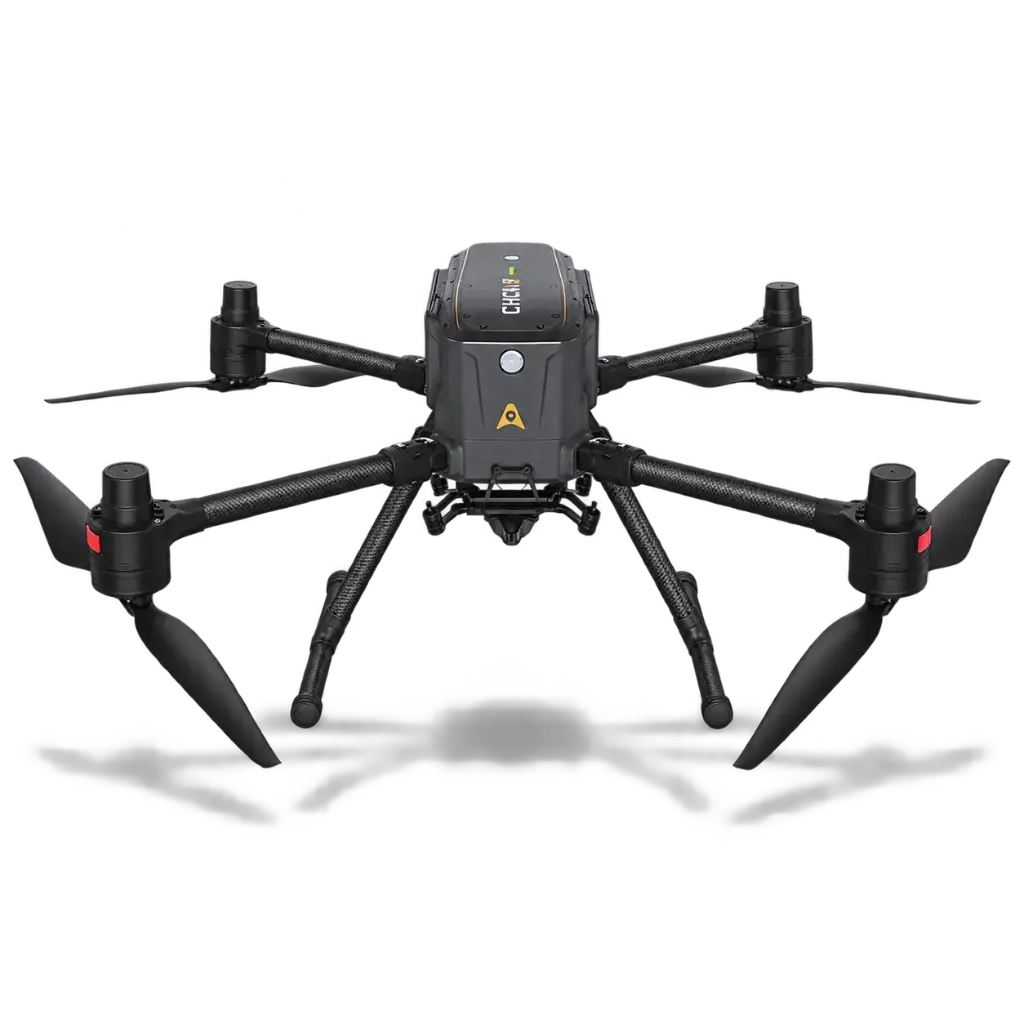
X500 Rotor UAV
A professional quadcopter built to carry survey payloads — up to three at once, 5 kg total — for airborne LiDAR and camera mapping, planned and flown with CHCNAV SmartGo.
Specifications
| Type | Quadcopter multirotor UAV platform |
|---|---|
| Max payload | 5.0 kg; up to 3 payloads simultaneously |
| Max takeoff weight | 13.9 kg |
| Flight time | 58 min (no payload); 52 min with 2 kg; 40 min with 4 kg |
| Positioning | RTK (1 cm + 1 ppm H); PPK supported with single-camera payload |
| GNSS | GPS + GLONASS + BeiDou + Galileo |
| Obstacle detection | 80 m mm-wave radar |
| Speeds | Max 23 m/s; ascent 8 m/s; descent 6 m/s; wind resistance 12 m/s |
| Video transmission | Up to 20 km |
| Batteries | 2 × B10 Li-ion, 10,000 mAh @ 47.04 V, hot-swappable |
| Ingress protection | IP55 |
| Operating temperature | −20 °C to +50 °C |
| Supported payloads | RGB cameras C5 / C30 and C504; LiDAR AU20 / AA15 / AA10 / AA9 and AlphaAir 6 Dual (AA6D) |
| Software | CHCNAV SmartGo mission planning |
Specifications are CHCNAV published figures and are subject to change without notice.
Adding aerial mapping?
Tell us what you’re mapping and we’ll fly an X500 with the right payload with you.